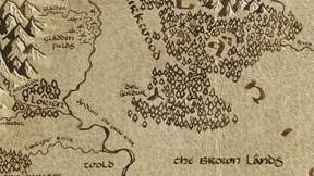
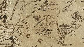
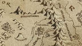
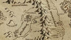
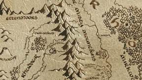
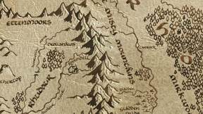
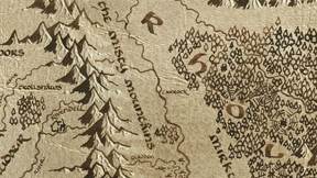
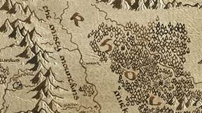
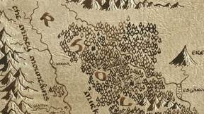
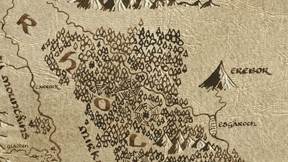
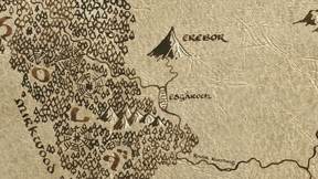
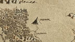
The Hobbit on the map of Middle-earth
Fifteen places and a single year, along a road that runs most of the width of the map — from a hobbit-hole in the Shire to a dragon’s door under the Lonely Mountain.
Every place in The Hobbit that this map plots, in the order Bilbo reaches them. You can open the map showing only these places, with Bilbo’s route drawn across it, or read the same events in sequence on the timeline.
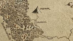
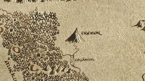
The journey is almost perfectly west to east. Bag End sits at x 2746 on the base map; Erebor sits at x 5161. Between them the road runs through the Trollshaws, over the Misty Mountains by the High Pass and Goblin-town, down to the Carrock and Beorn’s Hall, through Mirkwood to Thranduil’s Halls, and out to Lake-town on the Long Lake beneath the mountain itself. Thirteen of the fifteen places fall on that line.
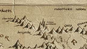
The other two sit well off it, and both belong to the parts of the story Bilbo never saw. Mount Gundabad is far to the north, where the goblin host mustered before the Battle of Five Armies. Dol Guldur is far to the south in Mirkwood, where the White Council struck while the dwarves were still on the road — the errand that takes Gandalf away from the company for much of the book.
Every event here is dated to Third Age 2941, the single year the quest occupies. For the deep past of these same lands, see The Silmarillion on the map; for all 128 places across every book, see the full gazetteer.
15 placesEvery place, in order
-
Dol GuldurThe Shadow over Mirkwood · The White Council Strikes
Around TA 1000, Sauron took secret refuge in southern Mirkwood, building the fortress of Dol Guldur and disguising himself as 'the Necromancer.' His shadow corrupted the…
-
Bag EndAn Unexpected Party · Bilbo's Farewell
Gandalf and thirteen Dwarves led by Thorin Oakenshield arrive uninvited at Bilbo Baggins' hobbit-hole, recruiting the bewildered hobbit as their burglar for a quest to reclaim the…
-
The TrollshawsThree Trolls
The company encounters three Stone-trolls—Tom, Bert, and William—who capture the Dwarves and plan to cook them.
-
RivendellThe Moon Letters · The Council of Elrond
Elrond hosts the company and reads the moon letters on Thrór's map, revealing the secret entrance to Erebor: 'Stand by the grey stone when the thrush knocks, and the last light of…
-
Goblin-town / High Pass
The High Pass over the Misty Mountains conceals Goblin-town beneath it, a sprawling underground warren ruled by the Great Goblin.
-
Misty MountainsRiddles in the Dark
Captured by goblins in the High Pass, the company fights free, but Bilbo is separated and lost in the deep tunnels.
-
The CarrockRescue by Eagles
Pursued by Wargs and goblins, the company is trapped in trees and saved by the Great Eagles, who carry them to safety at the Carrock, a great rock in the river Anduin.
-
Beorn's Hall
The company takes refuge with Beorn, a great skin-changer who can take the form of a bear.
-
Thranduil's HallsThe Woodland Realm
The Wood-elves of King Thranduil capture the Dwarves and imprison them.
-
EreborInside the Lonely Mountain
Bilbo creeps down the secret passage and confronts Smaug the Golden in his vast treasure hoard.
-
Long LakeThe Death of Smaug
Enraged by Bilbo's theft, Smaug descends on Lake-town in a storm of fire, setting the town ablaze.
-
Mount GundabadThe Goblin Horde
An ancient Dwarven holy site where Durin first awoke, Mount Gundabad was long ago seized by Orcs.
-
DaleThe Battle of Five Armies
After Bard slays Smaug, five armies converge on the Lonely Mountain: Men, Elves, Dwarves, Goblins, and Wargs.