The Silmarillion on the map of Middle-earth
The widest spread of any book here — from the far eastern shore where the Elves first woke, to an island in the western sea that by the Third Age no longer existed.
These are the places from The Silmarillion and the elder days that this map can show. You can open the map with only these places marked, or find them among the rest in the full gazetteer.
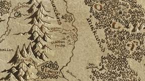
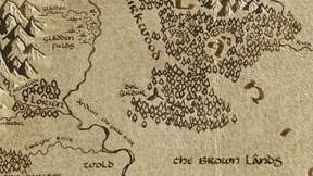
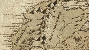
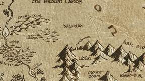
One thing is worth saying plainly, because it explains why the list is short. This is a Third Age map. Beleriand — the stage for almost all of The Silmarillion, with Doriath, Gondolin, Nargothrond and the rest — lay west of the Blue Mountains, and was broken and drowned in the War of Wrath at the First Age’s end. It is not off to one side of this map; it is under the sea beyond its western edge. What survived are peaks: the map carries Himling, once Himring where Maedhros held his fortress, and Tol Fuin, all that is left above water of Dorthonion. Both are filed under Appendices rather than here.
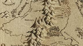
What does fall inside the map spans the whole legendarium, edge to edge. Cuiviénen, where the Elves awoke, sits at x 7091, at the far eastern limit of the parchment; the Meneltarma of Númenor sits at x 237, out in the western sea. Between them: Durin waking at Khazad-dûm, the Dwarven cities of Ered Luin, the founding of Lindon and the Grey Havens after Beleriand’s ruin, the forging of the Rings in Eregion and the One in Mount Doom, the raising of Barad-dûr, the Corsair haven at Umbar, the Last Alliance on Dagorlad, and the loss of the Ring at the Gladden Fields.
It is the only book on this map whose events run through all three Ages — which is the point of it. For the Third Age story that grows out of these events, start with The Hobbit or open the full map.
3 placesFirst Age
-
CuiviénenAwakening of the Elves
Cuiviénen, the Water of Awakening, was a bay on the shores of the great inland Sea of Helcar in the far east of Middle-earth.
-
Khazad-dûmThe Awakening of Durin
Durin the Deathless, eldest of the seven Fathers of the Dwarves, awoke at Mount Gundabad and wandered south to the Mirrormere.
-
Ered LuinNogrod & Belegost
The Blue Mountains housed the great Dwarven cities of Nogrod and Belegost in the First Age.
8 placesSecond Age
-
ForlindonNorthern Lindon
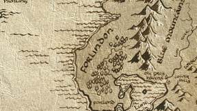
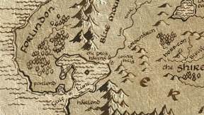
Forlindon, or North Lindon, is the land north of the Gulf of Lune and west of the Blue Mountains.
-
The Grey HavensMithlond · Departure to the West
Founded by Círdan the Shipwright after the War of Wrath destroyed Beleriand, the Grey Havens became the chief port from which the Elves departed Middle-earth for the Undying Lands.
-
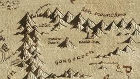
Barad-dûrThe Dark Tower
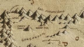
Sauron began building his fortress in Mordor around SA 1000, using the power of the One Ring.
-
EregionThe Rings of Power
In the land of Holly near the West-gate of Moria, Celebrimbor and the Gwaith-i-Mírdain were deceived by Sauron in his fair guise of Annatar, 'Lord of Gifts.' Together they forged…
-
Mount DoomThe Forging of the One Ring · The End of All Things
In the fires of Orodruin, Sauron forged the One Ring to control all the other Rings of Power: 'One Ring to rule them all, One Ring to find them, One Ring to bring them all, and in…
-
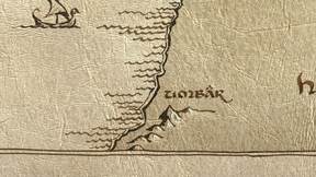
UmbarHaven of the Corsairs
Umbar was a great natural harbour far to the south, first established as a fortress by the Númenóreans in the Second Age.
-
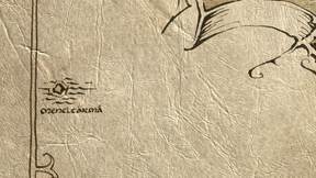
MeneltarmaThe Downfall of Númenor
Meneltarma, the Pillar of the Heavens, was the sacred mountain at the heart of Númenor.
-
DagorladThe Last Alliance
The Last Alliance of Elves and Men, led by Gil-galad and Elendil, fought the greatest battle of the Second Age on the plains before the Black Gate.
2 placesThird Age
-
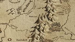
Gladden FieldsThe Disaster of the Gladden Fields
Two years after the defeat of Sauron, Isildur and his company were ambushed by Orcs while marching north along the Anduin.
-
Dol GuldurThe Shadow over Mirkwood · The White Council Strikes
Around TA 1000, Sauron took secret refuge in southern Mirkwood, building the fortress of Dol Guldur and disguising himself as 'the Necromancer.' His shadow corrupted the…