East Bight
The Cleared Land
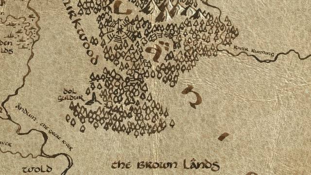
A great indentation in the eastern edge of Mirkwood, the East Bight was formed by Northmen who felled the trees over many generations. This clearing pushed deep into the forest, creating open land for settlement and agriculture. The Men who dwelt here were kin to the Rohirrim and the Lake-men, part of the broader peoples of Rhovanion. Their proximity to Dol Guldur made these lands perilous as the shadow grew in southern Mirkwood.
Figures: The Northmen of Rhovanion
| Place | East Bight |
|---|---|
| Book | Appendices |
| Date | Third Age 1000 |
| Map x, y | 4922, 1556 |
Nearest places on the map
- Dol Guldur — 233 map-pixels away, Third Age 2941
- Dol Guldur — 251 map-pixels away, Third Age 1000
- Emyn-nu-Fuin — 329 map-pixels away, Third Age 1000
- The Brown Lands — 363 map-pixels away, Second Age 3429
← Emyn-nu-Fuin
Carn Dûm →
All 119 places · the map · the timeline